Westfield Warringah Mall plans for climate resilience
ENVIRONMENT
The stormwater management approach at Westfield Warringah Mall has changed the site’s flood hazard rating from high to low.
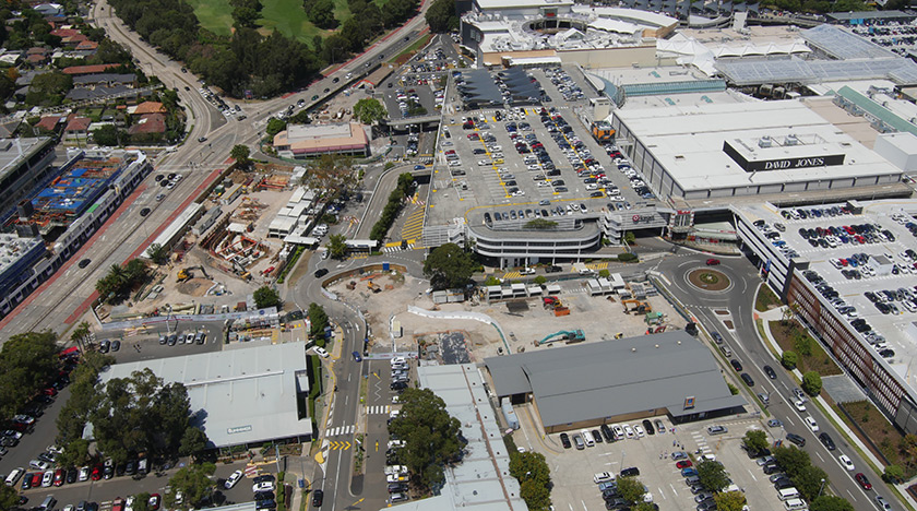
An aerial view of Warringah’s stormwater expansion scheme.
Warringah Mall is a major commercial area within its local environment. It is Australia’s 15th largest retail outlet by leasable area, with 329 retail outlets and a trade population of around 290,000 residents. The centre is also located on a floodplain in the Brookvale Creek catchment, which is naturally at risk from flooding.
While planning for the centre’s redevelopment, studies were carried out to look at different drainage systems to lower the existing flood risk. These studies showed that if drainage was not improved, the mall, its surrounding areas and residents would be significantly affected by flooding. Climate change impact studies also showed that the site’s future flood risk would be significantly increased due to predictions of more severe and more frequent storms.
"The Westfield Warringah Mall stormwater expansion scheme will reduce the cost of expected flood damage by 90%."
In response, a stormwater expansion scheme was designed and installed within the site to manage the stormwater flow and its drainage. The design was modelled using stormwater flows predicted from a ‘once-in-a-hundred year’ storm event. The final system has changed the flood hazard rating from high to low. The scheme includes a flood warning system and flood management plan, which will significantly reduce the flood risk to Warringah Mall staff and visitors.
Another long-standing issue was also rectified during the centre’s redevelopment. There was a need to stabilise the Brookvale Creek 90m upstream of Warringah Mall to prevent erosion to surrounding land and minimise flood risk. An embedded system has stabilised the creek and increased stormwater drainage through a pipe under the mall. The stormwater is treated and discharged to a creek downstream that flows to the local golf course and provides water for irrigation use.
During construction, consideration was given to traffic on Condamine Street, a nearby six-lane main road. With an average daily traffic count of 18,950 vehicles travelling north, traffic disruptions were a major concern to local residents and road users. Construction was optimised to ensure no traffic was diverted from this main road during construction works.